CatchAI isn't just another fishing app. It's the entire toolkit — for anglers, for clubs, for conservation, and for government.
🔔
Smart Alerts — "MyWaters"
Save your spots. CatchAI monitors conditions 24/7 and pings you when tide, wind, moon, and temp match your best previous sessions. "Botany Bay is firing — same pattern as your 8 kg jewfish last March."
Angler
🌤️
Weather & Tide Dashboard
BOM wind, swell, tide times, barometric pressure, water temp, and solunar ratings — all in one screen per spot. Stop checking 4 apps.
Angler
🎯
Tackle Recommendations
Based on species biting at your GPS, get lure, bait, rig, and line weight suggestions. "Jewfish tonight? Try live squid, running sinker, 20lb leader."
Angler
🗺️
Offline Topo & Depth Maps
Downloadable bathymetric maps showing depth contours, reef structures, drop-offs, and sand flats. Overlay your catch pins for next-level spot analysis.
Angler
🏅
Challenges & Leaderboards
"Biggest bream in Sydney Harbour — March." Monthly challenges, badges, and rankings. Opt-in only, so privacy-conscious anglers aren't bothered.
Social
📋
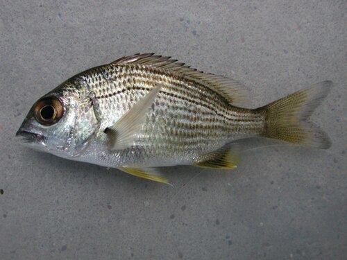
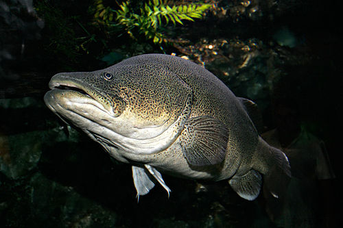
Species Quest — Bucket List
Catch all 10 iconic Australian species: Barramundi, Murray Cod, Snapper, Coral Trout, and more. Tick them off and earn your Angler Profile badges.
Social
📡
Voluntary Catch Reporting — Citizen Science
Every scan is a data point. Opt in to share anonymised catch data (species, size, location, conditions) directly with state fisheries research. CatchAI turns 50,000 anglers into a nationwide monitoring network. FRDC-aligned and conservation-ready.
Government
Conservation
🚨
Invasive Species Alerts
AI identifies carp, tilapia, or other pest species? Instant alert with reporting instructions. An early-detection network powered by anglers.
Government
🩺
Fish Health Reporting
"Report Sick Fish" — photo logged with GPS and sent to authorities. Machine learning flags visible parasites, lesions, or abnormalities. Nationwide monitoring.
Government
🛒
Licence Purchase & Renewal
Buy or renew your fishing licence directly inside CatchAI through official state channels. One tap. Revenue share model for state DPIs.
Government
Revenue
🌱
Conservation Score
Personal rating based on your release rate, reg compliance, and citizen science contributions. Government can showcase app-driven responsible fishing behaviour.
Conservation
📊
Catch History & Analytics
"Show me what I caught at this spot in March when the tide was incoming." Searchable by species, season, weather, moon phase, and location.
Angler
🏪
Local Tackle Shop Links
"CatchAI recommends this lure" — with a link to buy from your nearest tackle shop. Supporting local businesses with affiliate revenue.
Revenue
⛵
Charter & Guide Bookings
Connect with local fishing charters based on species and location. "Want to target marlin off Cairns? Book a charter here." Commission-based revenue.
Revenue
🌙
Bite Time Predictions
AI-powered best-time-to-fish forecasts using solunar data, weather patterns, and aggregated community catch data for your exact location.
Angler
🔄
Auto-Logging
GPS, weather, tide, moon phase, and water temp logged automatically with every catch. No manual entry. Just fish — CatchAI handles the rest.
Angler